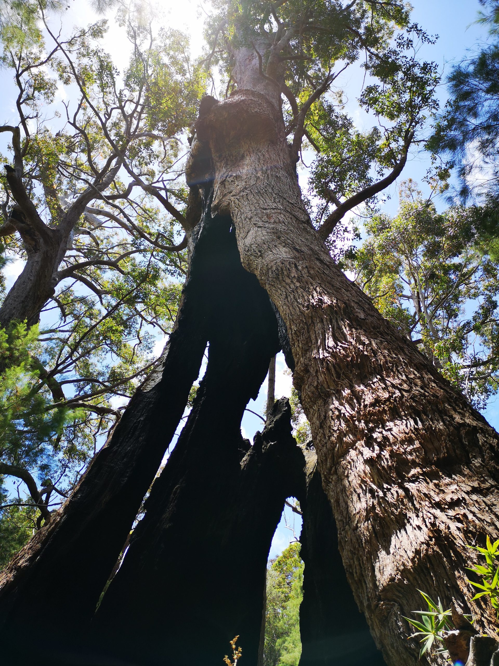
Preliminary Bushfire Assessment
Are you looking at purchasing a new block of land or an existing house but are unsure about whether you will be able to build your dream home or renovate…
Learn MoreA bushfire and town planning consultancy
Helping you to unwrap the red tape around bushfire risk and town planning across Western Australia.
Call Our Assessors for Instant Support!
How we can help
Bushfire Logic offers comprehensive bushfire consulting services including Bushfire Attack Level (BAL) assessments, comprehensive Bushfire Management Plans (BMPs), Bushfire Emergency Evacuation Plans, Bushfire Certification, and preliminary advice.
Servicing Perth Metro & Regional WA.
Preliminary Bushfire Assessment

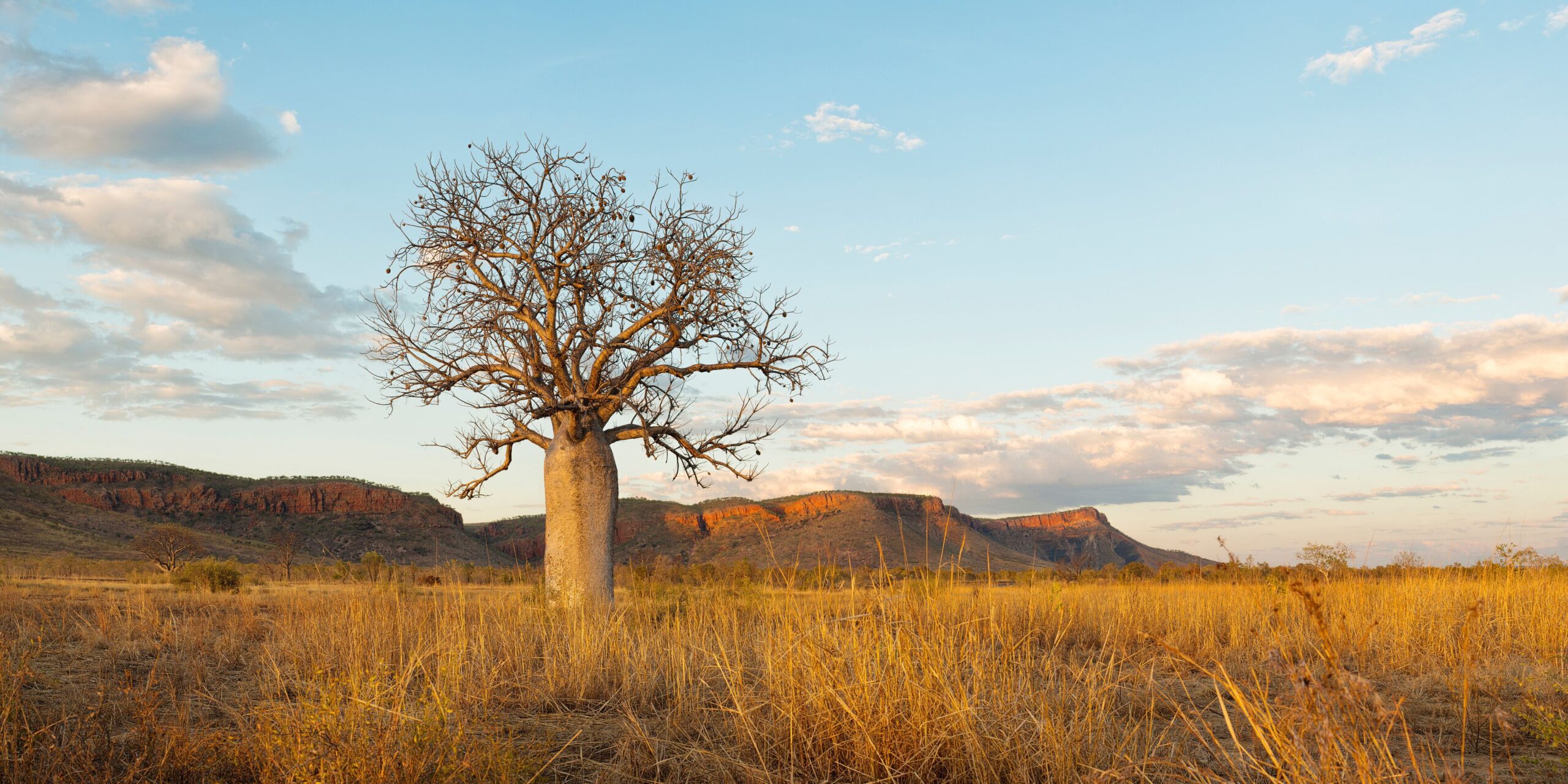
Broader Landscape Area Assessment
Bushfire Certification – Subdivision and Development

Bushfire Attack Level (BAL) Assessment
Bushfire Management Plans (BMP)
Bushfire Emergency Evacuation Plans
Our Projects
Department of Housing and Works – Kununurra
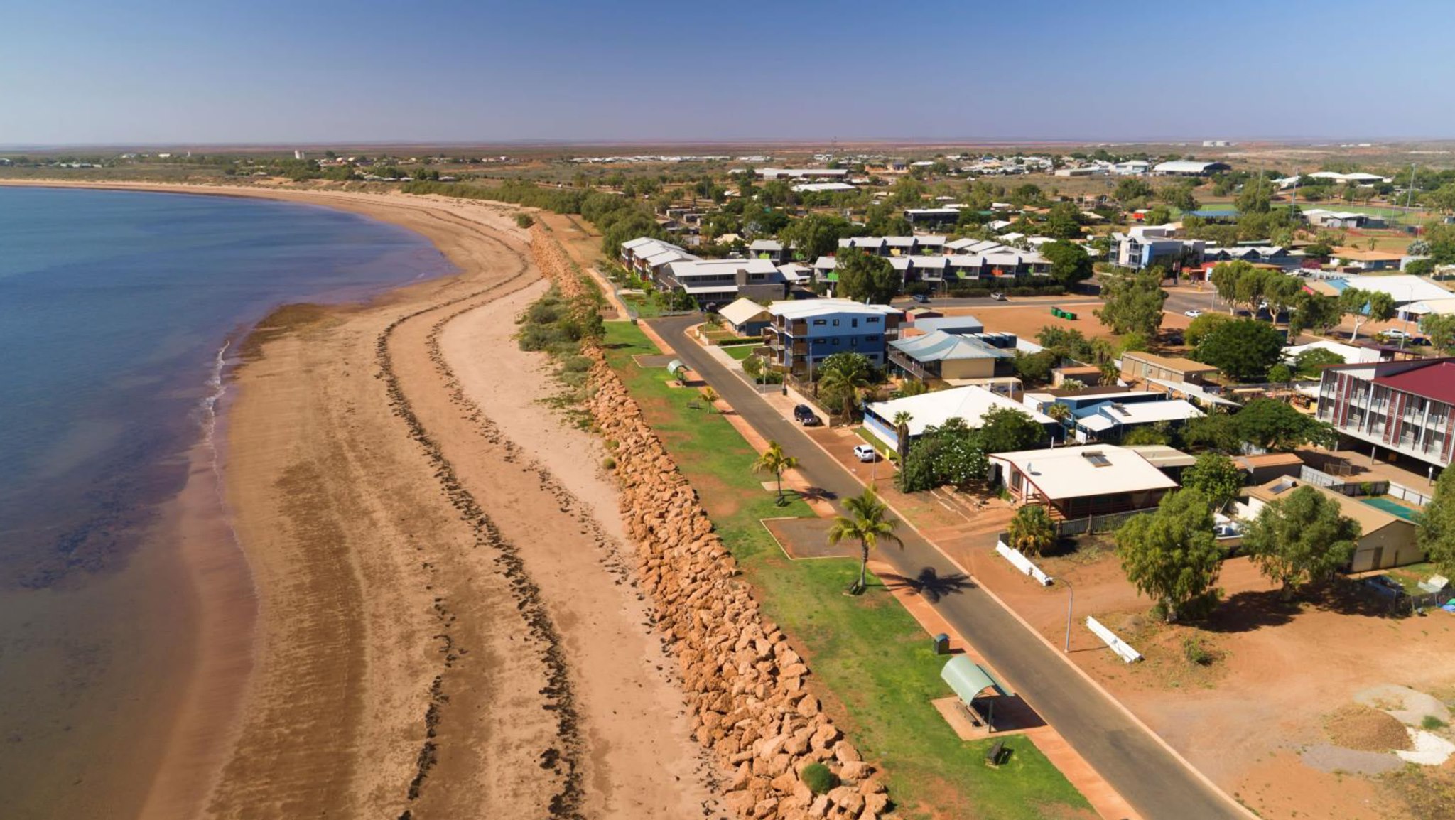
Department of Housing and Works – Onslow Project
Local Planning Scheme Amendment
Our Story
Bushfire Logic is a bushfire and town planning consultancy operating across Western Australia. With the skill sets and knowledge to overcome issues as they arise, we can walk you through the development and subdivision process and explain any questions you might have along the way.

Frequently Asked Questions
Good question. A BAL assessment is used for planning and building purposes to determine whether a building or development requires additional bushfire risk management measures to address the threat of bushfire to the development. There are 6 BAL rating categories: BAL-Low, BAL-12.5, BAL-19, BAL-29, BAL-40 and BAL-FZ with each representing increments in radiant heat in kilowatts per m2. BAL assessments are used to determine the appropriate construction standards under AS3959:2018 and are most commonly required for development applications and/or building permits.
A Bushfire Management Plan (BMP) or Bushfire Management Statement is an assessment against the Bushfire Planning Framework and identifies the extent of a bushfire hazard to a development.
A BMP sets out short, medium and long-term bushfire risk management strategies for a particular area.
It is used to support planning proposals such as structure plans, subdivision applications and development applications in bushfire prone areas. A BMP considers such things as locations for new buildings, fire breaks, firefighting water supply, vehicular access for both fire fighting and egress in an emergency, easements and ongoing risk management responsibilities for home owners, developers and the local government.
The 2023-2024 review of the Bushfire Prone Area Mapping introduced two distinct bush fire contexts. Area 1 comprises selected suburbs located on the Swan Coastal Plain within the Perth, Peel and Greater Bunbury Region Schemes. These are areas where the intensity of development and non-contiguous nature of vegetation reduces the risk of landscape scale bush fire. Area 2 comprises the remainder of the Western Australia.
You can find out whether your property is within a designated bushfire prone area 1 or 2 by looking up your address on the Map of Bushfire Prone Areas published by the Department of Fire and Emergency Services. Alternative, we are happy to help you find out and explain that it means.’
Testimonials

Jemma was extremely professional and knowledgeable and very easy to get along with , providing a quick and comprehensive report. Would definitely recommend Bushfire logic.
Linda Elliott
Jemma was an absolute pleasure to deal with and extremely efficient in her tasks. I have used other certifiers in the past and Bushfire Logic is by far the best! Thankyou
Daniel Clark
The service provided from Jemma when conducting our BAL rating assessment was outstanding. She went above and beyond for us, even answering questions over the weekend. We highly recommend Bushfire Logic!
Ashlee Fowler
Jemma at Bushfire Logic was a consumate professional, and provided us with a comprehensive bushfire management plan for our property. The attention to detail particularly stood out, and we are more than happy with the result.
Benno G.
Jemma was extremely helpful and prompt with the same day service. Her BAL report was thoroughly detailed. Would recommend Bushfire Logic services.
Marcus Weyers
Jemma and the team at Bushfire Logic provided a fast quote (very reasonable) and even faster turnaround for the report. Great service and very professional.
Dean Newton
Jemma, was a treat to work with, fast and prompt, made everything easy to understand, the pdf presentation was great.
Was a pleasure doin business.
Rick Adams
Prompt service, great communication and would recommend to anyone looking for a BAL assessment. Thanks Jemma
Julie Barker
Excellent service provided.
Liz Jarvis
Contact Us
Need answers fast? Call our assessor team now!